


Blue Plaques Bring History of St Andrews’ Medieval Wynds Back to Light
New blue plaques installed in St Andrews’ historic lanes are telling the stories behind the town’s medieval wynds, as part of a wider programme of commemorative plaques appearing across the town.
According to Fife Today, the plaques were installed by the St Andrews Pilgrim Foundation, which has renovated all four of the town’s medieval wynds at different points. The foundation’s chair, Dita Stanis-Traken, said that although each has its own history, these histories had been partly obscured by a nineteenth-century anglicisation programme. The plaques, designed by Chic Harper and produced by specialist sign makers, are intended to last “for decades, or even centuries, to come.”
That renaming process is recorded in St Andrews Street Names by Robert N. Smart and Kenneth C. Fraser. According to the publication, Baker Lane was anglicised from Bakers Wynd in 1843. An earlier history published by the St Andrews Preservation Trust records that the name changed only slightly over five centuries: it was Baxter Wynd in the fifteenth century, Bakehouse Wynd in parts of the sixteenth and seventeenth centuries, and Bakers’ Wynd by the eighteenth.

According to St Andrews Street Names, Logies Lane was also renamed in 1843 from Logies Wynd. Its earlier name came from a fifteenth-century proprietor who was a canon of St Salvator’s College. The St Andrews Preservation Trust identifies him as Thomas Logie, who owned property beside the wynd and died in 1474.
According to the St Andrews Preservation Trust, Muttoes Lane derives its name from the Mutto family, who owned property there in the sixteenth century. At the time, the route was also commonly known as Bakehouse Close.
According to ‘St Andrews Street Names,’ Crails Lane was anglicised from Crails Wynd in 1843, with rents from property there once paid to Crail Church. The St Andrews Preservation Trust adds that the route had earlier been known as New Close, before the name Crail’s Wynd emerged in the eighteenth century.
The renaming went beyond these four lanes. According to ‘St Andrews Street Names,’ South Castle Street was previously Heukster’s Wynd, with heukster being a Scots word for a ‘pedlar,’ while North Castle Street was previously Castle Wynd.
According to Fife Council’s 2010 St Andrews Conservation Area Appraisal & Management Plan, the wynds are a defining feature of the medieval town. They were laid out to link the main streets and give access to the marketplace, creating a herringbone pattern typical of Scottish medieval burghs. The appraisal names Gregory Lane and Butts Wynd as part of the original medieval plan, with other wynds appearing from the fifteenth century onwards, usually under different names.
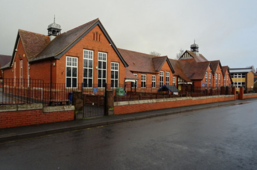
According to The Courier, the Pilgrim Foundation’s plaque programme also extends beyond the medieval wynds. In January 2026, the Foundation lodged plans for plaques at St Leonards School marking the site’s links with Mary, Queen of Scots and former Provost Sir Hugh Lyon Playfair. According to St Leonards School, the Playfair plaque was unveiled outside St Leonards House in April 2026 — at what was his family home.
Playfair is also part of the wynds’ story. Stanis-Traken describes the anglicisation as having taken place during his time as Provost: according to the Council’s appraisal, many of the old street names were changed in the mid-nineteenth century, during the improvements he championed to develop St Andrews as a resort.
According to Fife Today, the Foundation has also installed plaques commemorating champion golfers Allan Robertson and Tom Morris. Further plaques are planned for 2027, including one to Mary, Queen of Scots at St Leonards.
Image Courtesy of Yishu Zhang


Comments